Just the Facts
(Along with a Little Gossip and a Few Mistakes)
What is Cades Cove?


What Is Cades Cove?
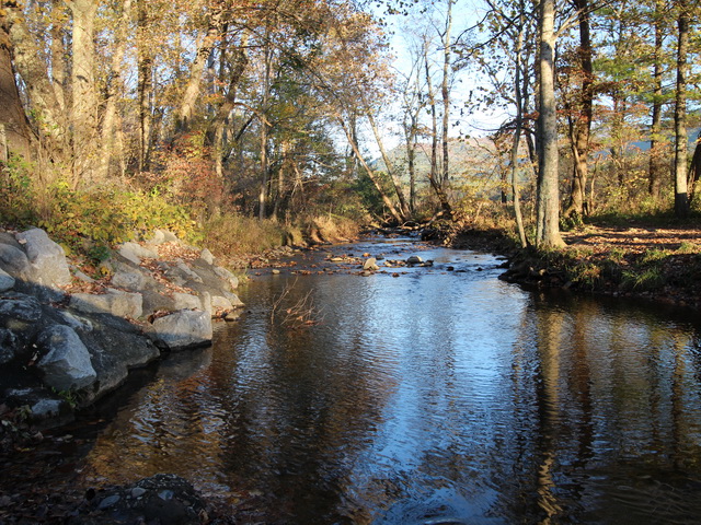
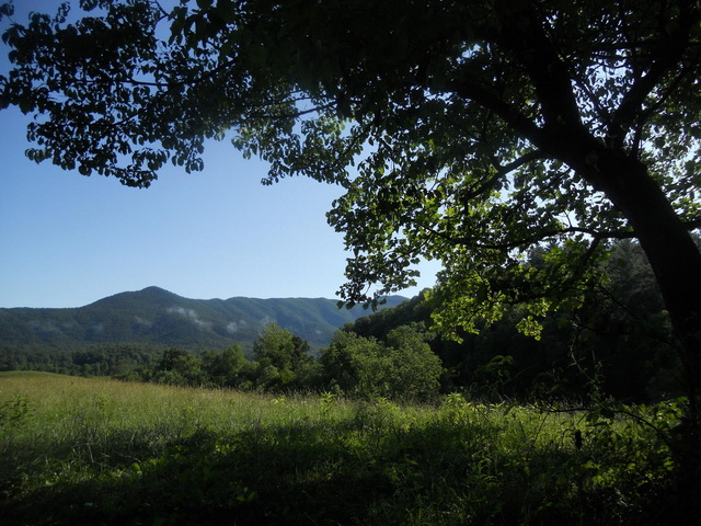
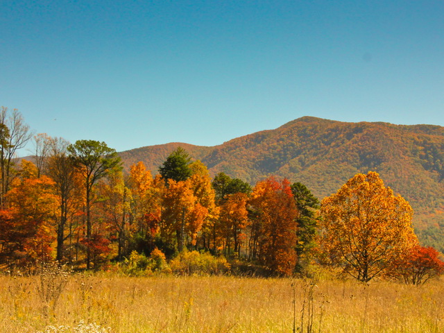
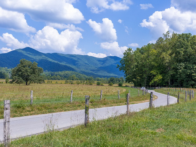
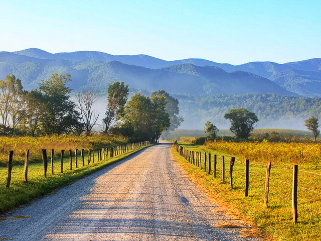
Cades Cove is a 6,800-acre valley nestled in the Great Smoky Mountains of eastern Tennessee. Mountains surround the Cove, and the current access to the valley is from the northeast via a winding road that parallels Laurel Creek. This road did not exist until the park service moved into the Cove and substantially altered access to the Cove.
That is not saying there is anything wrong with the current traffic flow into and through the Cove, but it is important that visitors understand that this is different than anything the settlers would recognize. They were accustomed to having three ways into and out of the Cove. They came and went via a road at the north side of the valley (Rich Mt Rd), the northwest corner (Cooper Rd), and the southwest corner (Parson Branch Rd). The old roads were not asphalt or concrete, they started as foot trails, developed into wagon trails, and then widened for automobiles. They were one lane, but two-way.
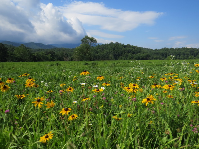
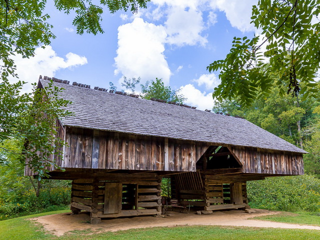
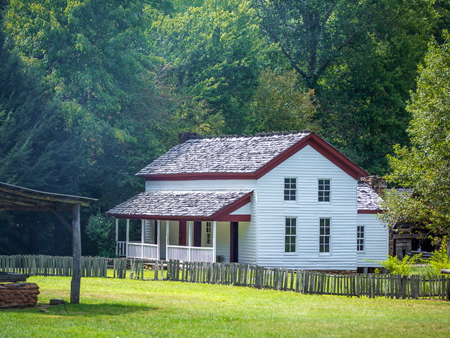
The valley consists of several distinct features that work together to create the serene, pastoral atmosphere of Cades Cove. These include an open, grassy valley floor enclosed by steep, wooded mountains; Abrams Creek and its two main branches that drain the valley; the three roads, constructed in the 1830s, which for 100 years provided access to the Cove, and a valley loop road that connects several historic homes and churches, and a mill.

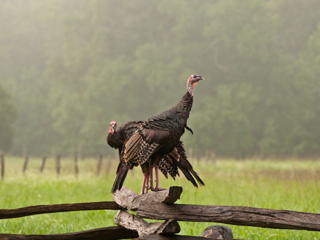
CC Lee Coursey
Cades Cove's significant historical period is from 1800-1899. Emphasis is placed not only on the early settlement of the Cove but also on later development of the Appalachian South. Thus the period of significance has shifted slightly and now ranges from 1818-1942, but primarily depicts the Cove's "pioneer" settlement.
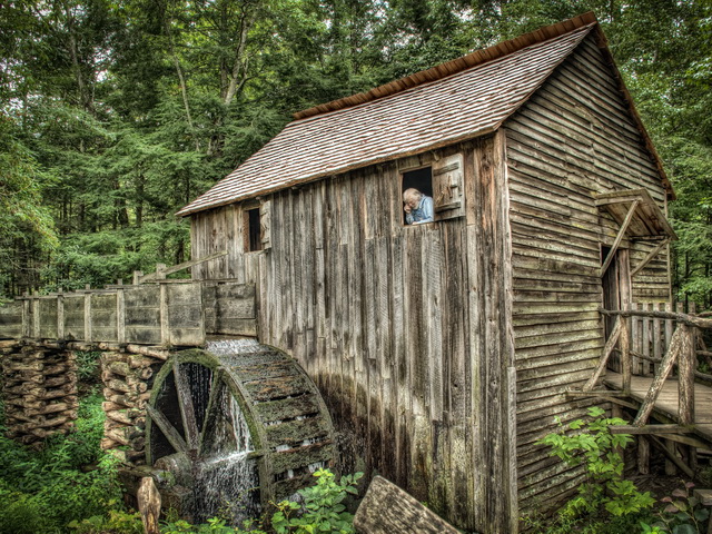
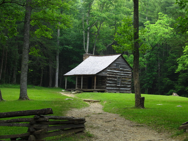
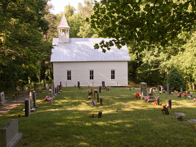
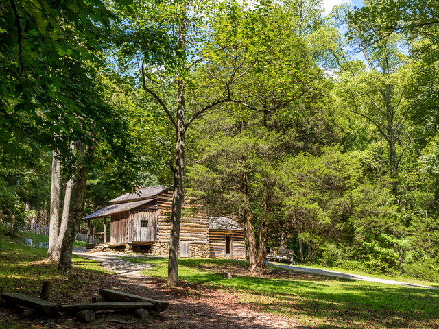
The historical situation of the valley inhabitants was a community striving for survival yet linked to the outside world by three roads that traversed the northern, northwestern, western, and southwestern mountains. Conditions improved as they were able to open the valley floor and divided it into both small and large agricultural fields and pastures for grazing animals. They also cleared the lower slopes of the mountains for crops and wooded lots. They lead their cattle and sheep to fields high on the mountain to graze on the balds above the valley. Their homesteads, churches, schools, grist mills, stores, and cemeteries were all connected by a loop road that encircled the open valley floor, and small family roads were used to connect families and friends.
A few years before the park stepped into their lives, the community had become so self-sustaining they began taking their produce to Maryville and Knoxville to sell.

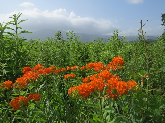
CC Anissa Wood
Since the emphasis of the original GRSM legislation in 1930 was the protection of natural resources, and the current [1998] condition of the valley was substantially different from the historic valley, the park's natural resource specialists have made a combined effort to "restore" the valley to its natural" (pre-inhabited) state. Not only have the majority of the structures been removed, but vegetation growth progression has also filled cleared lands, and clear-cut forests, reforested. There has also been an effort to undo what the farmers did to control Abrams Creek and restore the wetland (marsh) on the western end of the cove. Native grasses now account for large portions of the valley floor.
There is no similarity between the present boundaries and the historical farm boundaries. Of the seventy-five farms purchased in 1933, 89% were less than 200 acres in size and most included woodland. In other words, you see what the park service wants you to see, not what was there at any given time in history.
It is pretty, and it is interesting, so enjoy the Cove while there is a Cove.
Facts are found in the following: National Park Service Cultural Landscapes Inventory
Cades Cove Landscape
Great Smoky Mountains NP - Cades Cove Subdistrict 1998

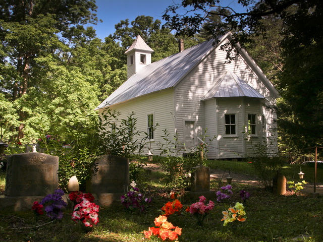
CC Ran Allen